Accelerate your Decision Cycle…
We are Canada’s premier geospatial intelligence consulting company, dedicated to providing integrated intelligence solutions. We deliver actionable insights through cutting-edge technologies and tradecraft.
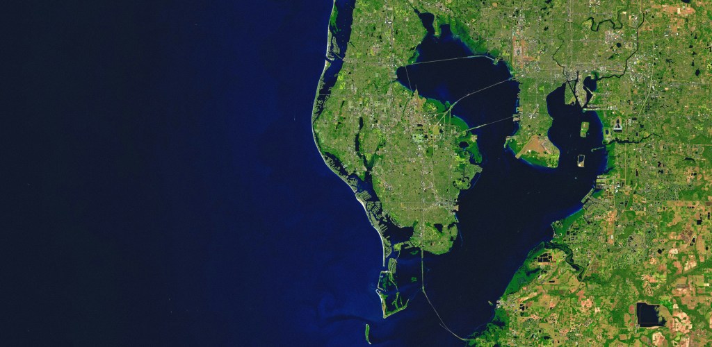
BGIC Ltd represents BlackSky , ICEYE and SatVu in Canada to empower businesses and government agencies with real-time geospatial solutions featuring real-time satellite imagery and analytics.
BlackSky’s constellation of 14 electro-optical (EO) 1-meter resolution satellites and its new and available Gen-3 with .35 cm resolution provide rapid revisit, analytics, and advanced tasking capabilities to the user. https://youtu.be/nsICvLMmKKQ
ICEYE’s constellation of 44 synthetic aperture radar (SAR) satellites provides a rapid revisit and offers finished products for Flood and Forest Fire decisions to users that is unmatched by other providers. https://www.youtube.com/watch?v=nJiju51MCZ0
Satellite View (SatVu) Provides unparalleled 3.5cm Resolution Thermal Imagery The images and short video captured by our satellites show heat variations across the surface of the earth at a resolution of up to 3.5 m, both during the day and at night. https://www.youtube.com/watch?v=4svTuhbvQEg
Contact us for a briefing
Your message has been sent

